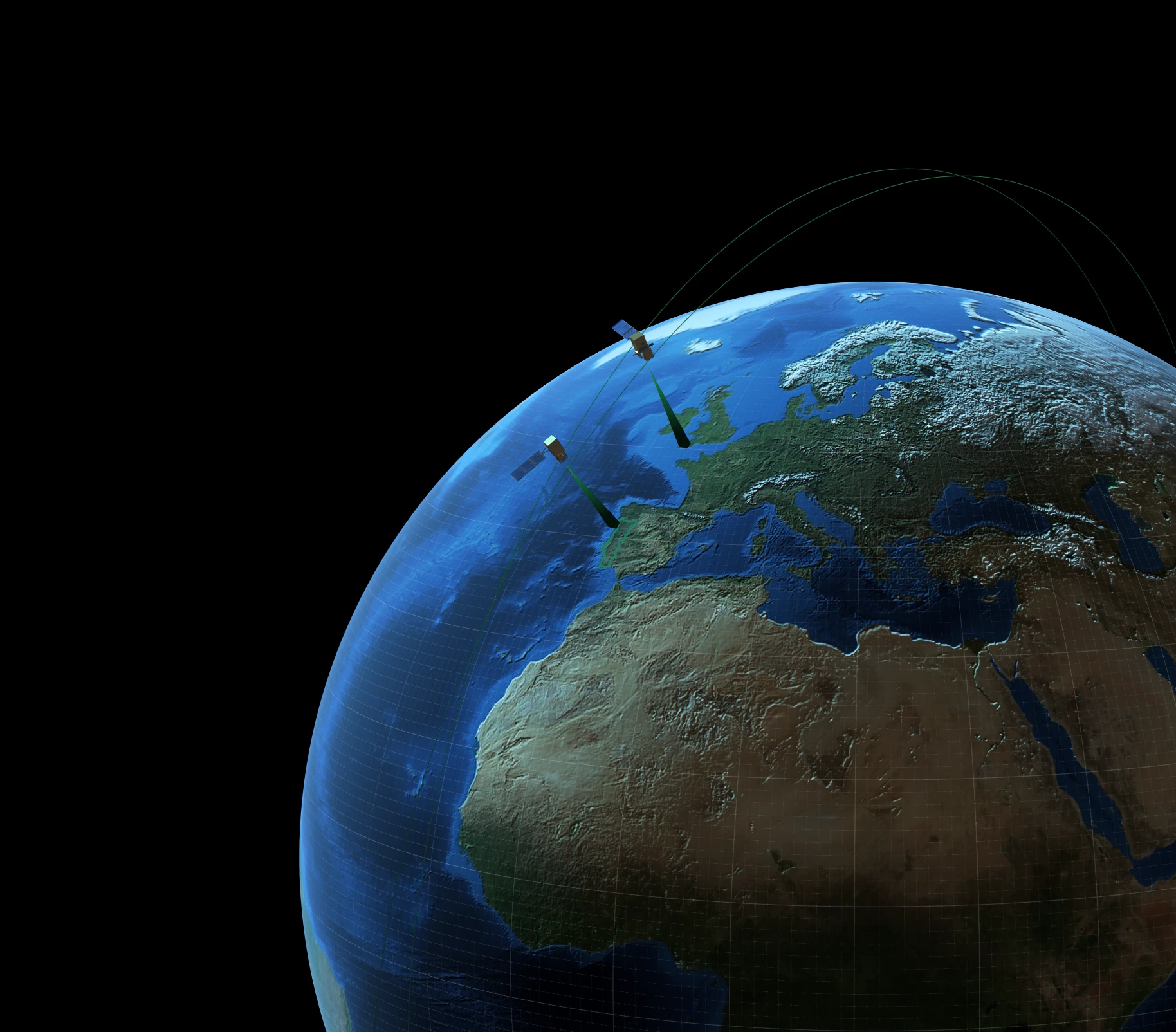
Our end-to-end technology – powered by very high-resolution satellite imagery, proprietary models, and specialized data expertise – transforms complex data into clear, traceable, and science-based insights.
Built entirely in-house, it ensures independence, transparency, and credibility at every step. Our first service focuses on monitoring forests and quantifying carbon sequestration. By transforming satellite data into measurable outcomes, we help governments, companies, and institutions understand and manage the planet’s landscapes and resources.